
A RAPID transformation

Advancing natural hazards research

By: Brooke Fisher
Photo credits: RAPID center, Dennis Wise and Mark Stone/University of Washington
Top image: Following Hurricane Dorian, RAPID Operations Engineer Andrew Lyda (right) and researchers from Auburn University survey damage to structures located on the Abaco Islands in the Bahamas.

Four years ago, data gathering protocols and procedures for reconnaissance missions were perhaps as unpredictable as the natural disasters themselves. Only a handful of researchers owned instrumentation, data collection was non-standardized and information gathered was often not shared beyond personal hard drives.

“Before RAPID, it was ad hoc, DIY or sometimes BYO (bring your own) equipment to a reconnaissance mission,” says Civil & Environmental Engineering (CEE) Professor Joe Wartman, who directs the Natural Hazards Reconnaissance Facility (known as RAPID). “The few people who had reconnaissance instruments, like lidar, tended to be very overburdened in the sense that they were asked to participate in numerous missions. It didn’t leave space and room for others to join.”

The first center of its kind in the world, RAPID has transformed how data is gathered, processed and saved in the aftermath of natural disasters. A $6 million renewal grant from the National Science Foundation (NSF) provides four additional years of funding — and a 30% budget increase allows the center to advance the natural hazards reconnaissance field through new initiatives.

RAPID is part of a larger network of experimental research facilities at seven universities across the country. They were founded in 2016 through the Natural Hazards Engineering Research Infrastructure (NHERI) program to enhance the resilience of infrastructure and lessen the vulnerability of communities during natural disasters.

“We have everything we need to start making even more significant breakthroughs in years to come,” Wartman says. “I am very optimistic about what will come from the RAPID. Even in the first few months of the renewal, I’ve seen exciting uses of data and innovations in reconnaissance.”

#

Prior to the launch of the RAPID center, members of the original UW faculty team test an Uncrewed Aerial System, or drone, that will be used for aerial reconnaissance. Pictured are Principal Investigator and CEE Professor Joe Wartman, Human Centered Design & Engineering Senior Principal Research Scientist Scott Miles, CEE Professor & Chair Laura Lowes and Professor Jeffrey Berman (from left).

Faculty leadership

Led by Wartman, the RAPID center includes an interdisciplinary faculty team from UW and other universities. UW participants include co-investigator and Civil & Environmental Engineering Professor Jeffrey Berman, Civil & Environmental Engineering Chair and Professor Laura Lowes and Applied Physics Laboratory Senior Research Scientist Troy Tanner. Leadership changes during the center’s renewal include two faculty stepping down: Human Centered Design & Engineering Senior Principal Research Scientist Scott Miles and Evans School of Public Policy Professor Ann Bostrom. They will be replaced by Environmental and Occupational Health Sciences Assistant Professor Nicole Errett. The center’s leadership team also includes faculty from the University of Florida, Oregon State University and Virginia Polytechnic Institute and State University.

Several CEE faculty are also involved in two related NHERI centers:

DesignSafe-CI: Chair and Professor Laura Lowes and Professor Pedro Arduino are members of the management team for the cyberinfrastructure component, DesignSafe-CI, headquartered at the University of Texas at Austin. The web-based data repository is used by the various NHERI research teams to share and archive information, as well as provide tools to analyze and report research findings. View available datasets at the DesignSafe recon portal.

SimCenter: The Computational Modeling and Simulation Center (SimCenter) is co-led by Lowes and includes faculty members Arduino, Michael Motley and Peter Mackenzie-Helnwein. Based at the University of California, Berkeley, the SimCenter’s goal is to transform natural hazards simulation in order to better assess regional risks. The ability to better simulate the damage caused by natural disasters will empower communities to make better-informed decisions about disaster preparation. Learn about the SimCenter’s renewal.

Growing demand

Headquartered in UW CEE, RAPID has responded to 80 natural disasters including hurricanes, earthquakes, tsunamis, landslides and wildfires. Since the facility officially launched in 2018 following two years of preparations, there has been an increase in demand for reconnaissance support. This is due to a “new class” of disasters, says Wartman, which includes extreme events such as landslides triggered by warming temperatures as well as wildfires.

“Those weren’t a big agenda item five years ago,” Wartman says about wildfires. “But they have become quite prominent the past few summers.”

Left: In the aftermath of Hurricane Ida, RAPID researchers collect data throughout Grand Isle, Louisiana, using a 360-degree Street View camera system mounted on top of a vehicle. Top right: Louisiana State University Ph.D. Student Jasmine Bekkaye surveys a ground control target to help lock-in drone data of debris gathered after Hurricane Ida. Bottom right: RAPID Operations Manager Mike Grilliot sets up a drone to gather aerial imagery following the Umpqua National Forest fire.

The reconnaissance community has also grown considerably. In 2016, only one organization — the Geotechnical Extreme Events Reconnaissance Association — responded to extreme events. Today, the RAPID facility actively supports a community of seven extreme event reconnaissance organizations, as well as universities, government agencies and international organizations. The center offers mission planning and deployment support as well as more than 100 unique state-of-the-art pieces of equipment. Prior to RAPID, reconnaissance equipment was primarily limited to lidar instruments that map surfaces using light.

“We offer not just a high-quality portfolio of some very pricey instruments, but a range of instruments that are tailored for specific disasters,” Wartman says. “Some are better for looking at structural concerns and others for coastal engineering concerns.”

New initiatives

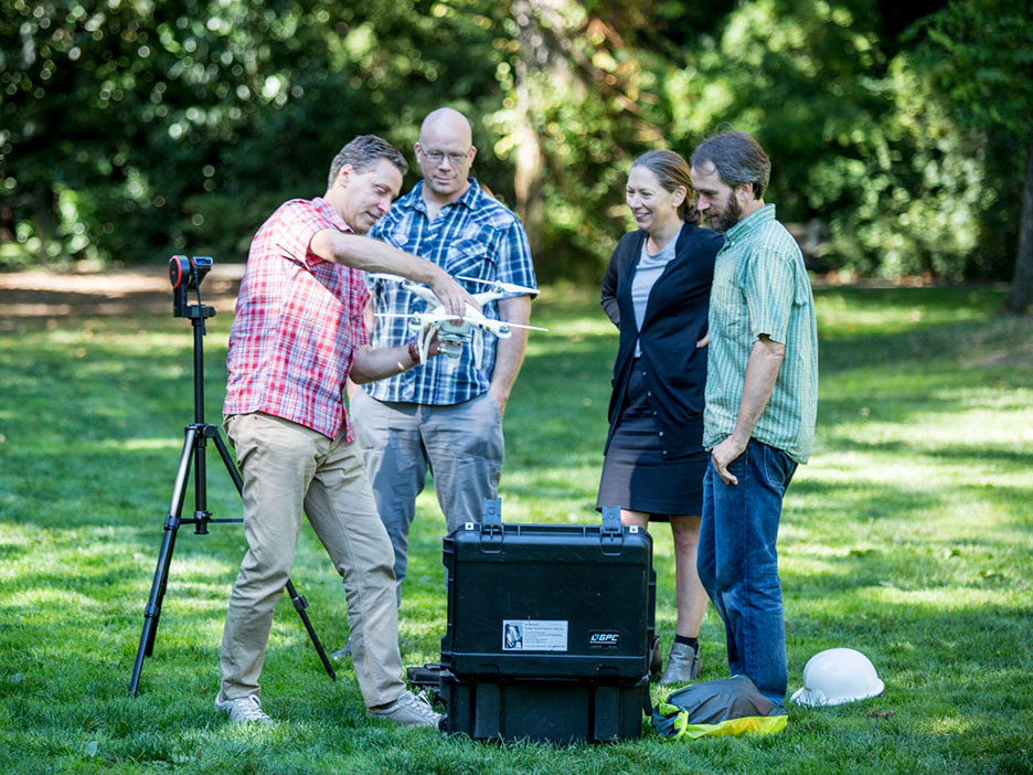
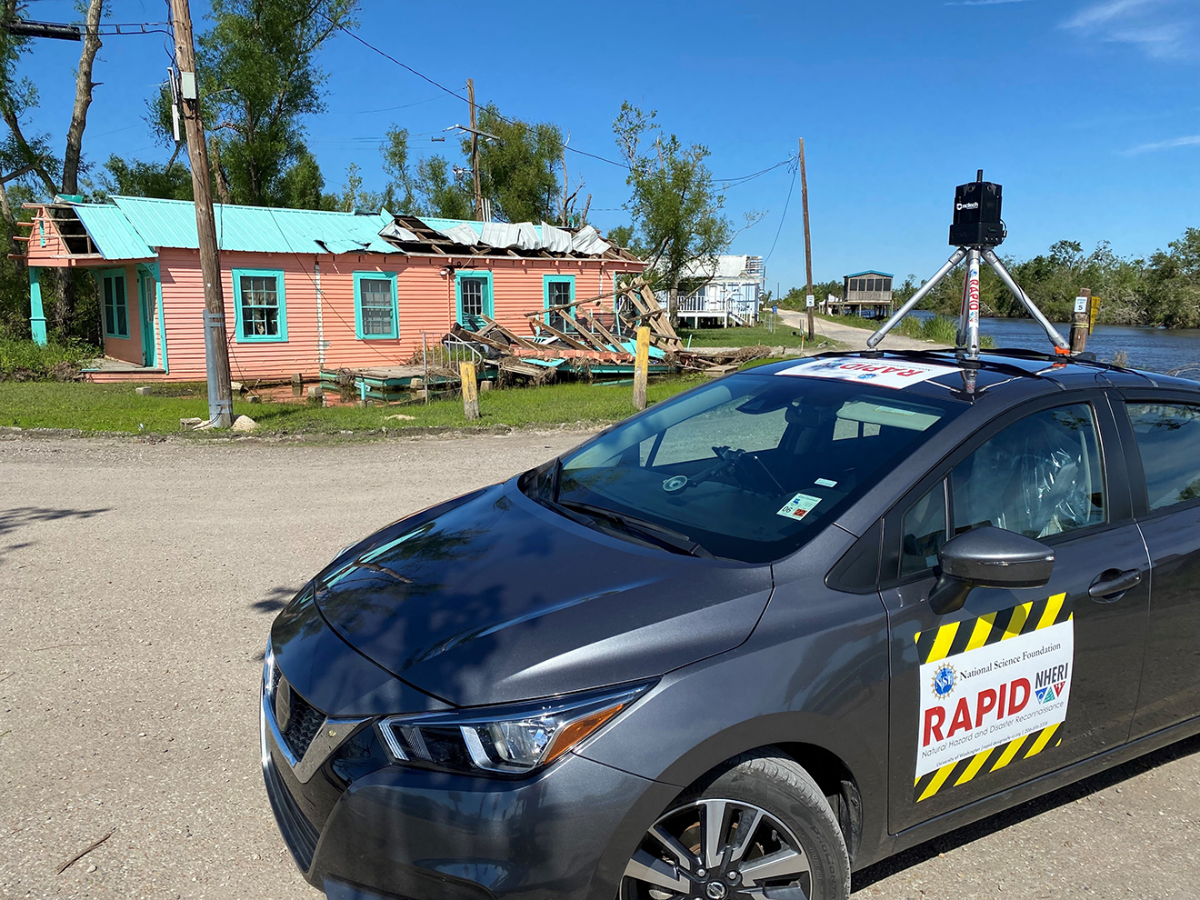
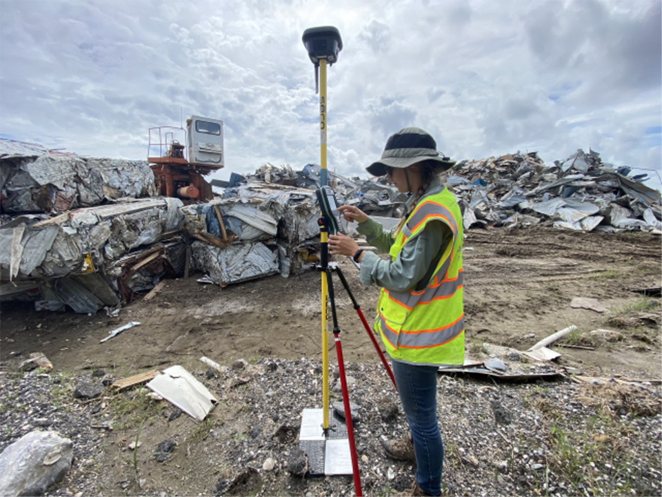
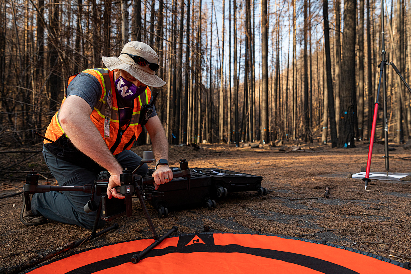
Building on three years of successful operations, the RAPID researchers are now focusing their efforts on enabling even more advancements in the field. To do so, they will offer additional project support both before and after teams deploy to disaster sites. Planning is already underway for new training initiatives as well as data-processing assistance to help analyze and archive data.

Image
A group of researchers outdoors looking at documents
In preparation for the RAPID Center’s opening, researchers from across the country gathered for a four-day intensive training in July 2018.

“One of the things we learned from the first grant is that we collected some fantastic data, but the challenge after collecting it is processing it into a digestible form,” Wartman says. “A big theme of the renewal is getting users past that bottleneck by providing more resources after they return from the field.”

To supplement an existing four-day hands-on intensive training workshop, the center plans to offer remote data processing training, webinars on how data sets may be reused and shared, and hands-on specialty trainings in outdoor settings. To increase the number of underrepresented populations that receive training, the center also plans to hold trainings at various universities.

“We hope to have a cadre of users that looks demographically like the communities we serve that are affected by disasters,” Wartman says.

Data driven

Image
A high-resolution lidar generated false-color point cloud of a building damaged during Hurricane Michael.
A high-resolution lidar generated false-color point cloud of a building damaged during Hurricane Michael. The various colors indicate different types of materials used in the building construction. 

Central to its mission, the center will continue to emphasize the importance of sharing data with the broader research community. A web-based data repository used by the various NHERI research teams, DesignSafe-CI not only archives data, but has standardized procedures for sharing results. So far, more than 100 terabytes of unique natural hazards data has been archived. From using data sets to verify landslide models to perhaps even informing artificial intelligence research, the options are endless, Wartman says.

“There will be uses for the data that I can’t even imagine in this day and time,” says Wartman. “We’ve built a community of researchers with an understanding that what is collected will be openly shared, which does a lot to ensure transparency in engineering and science.”

Accomplishments

The RAPID center’s notable accomplishments include:

  • Building a reconnaissance community: RAPID supports seven extreme event reconnaissance organizations, in addition to government agencies, universities and other entities.
  • Supporting 80 field missions: To date, the RAPID facility has supported 80 natural hazards missions worldwide, assisting more than 50 organizations.
  • Hosting intensive training workshops: The center’s flagship four-day intensive summer workshop held annually on UW campus has trained more than 200 reconnaissance researchers.
  • Developing a mobile app: To streamline the data gathering process and make it easy to transfer data from a mobile device to a cloud-based server, the RApp app was developed to interface directly with the DesignSafe-CI data collection repository.