
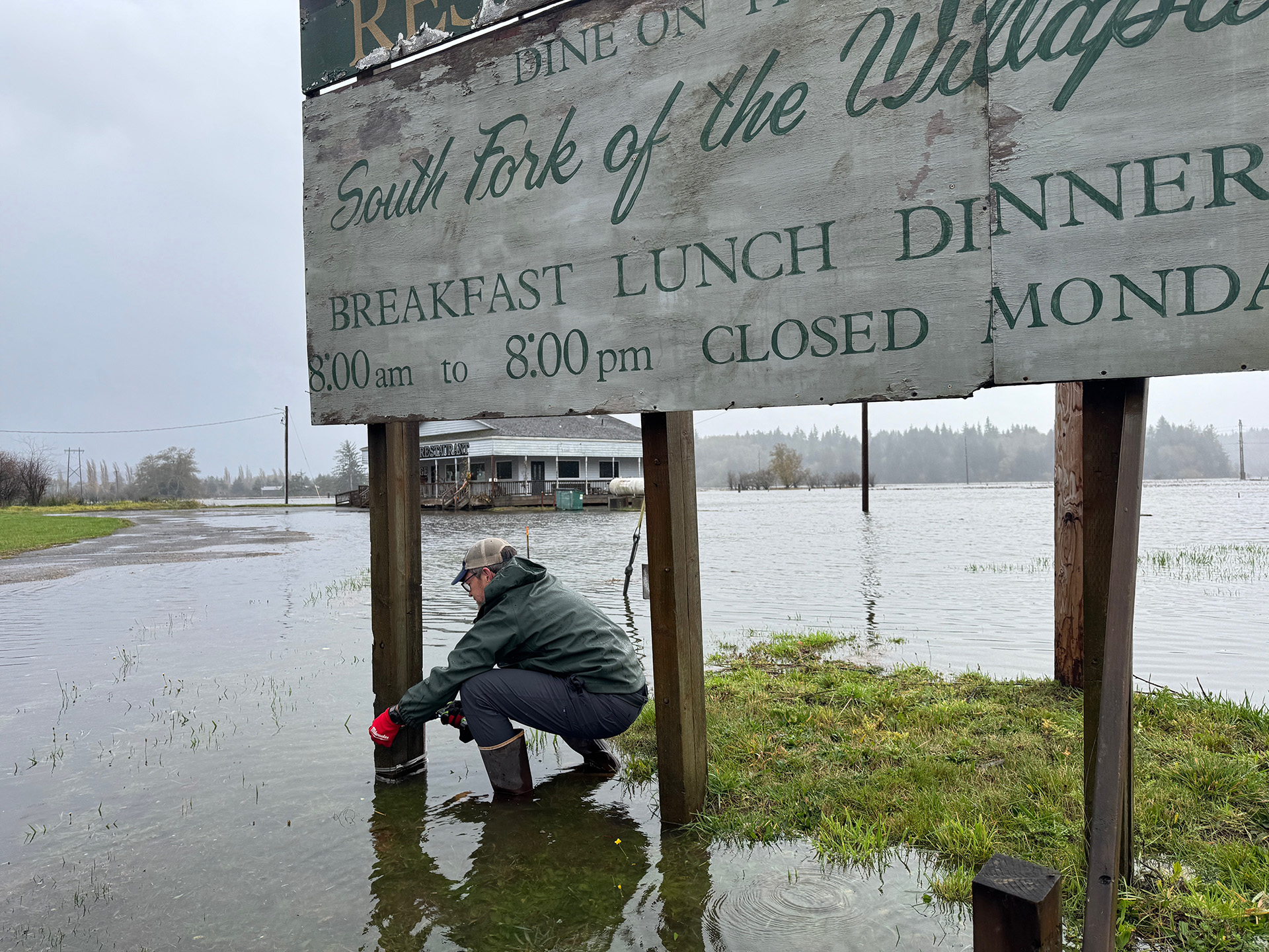
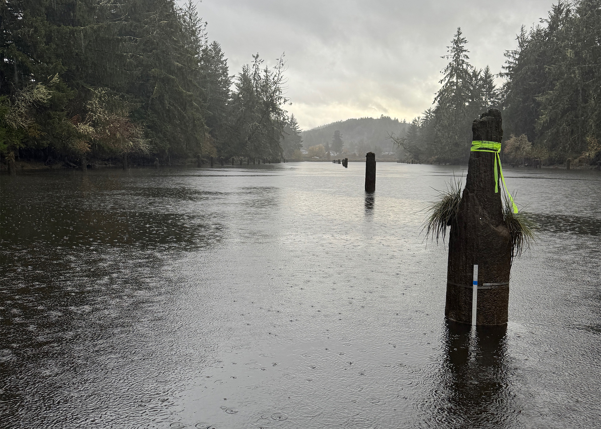
At sunrise one morning in early November 2025, a small University of Washington team was out on the Willapa River, fastening water-level sensors to old wooden pilings, posts in the riverbed that once guided logs downstream. The tide was low, but it wouldn't stay that way.
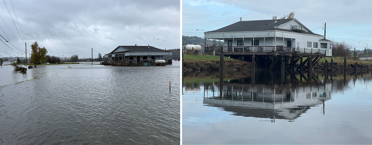
Later that day, a king tide, one of the year's highest, pushed the river over its bank in Raymond, a small town in southwest Washington's Pacific County. Just before the water spilled across U.S. Highway 101, the team mounted one more gauge to record how high it would climb.
By CEE Professor Alex Horner-Devine's estimate, the river rose about a foot and a half higher than forecast. Why it climbed that high is the kind of question the team set out to answer.
Floods along the Pacific Northwest coast can come from very high tides, storm surge, heavy rain, strong wind or rivers running high. Some of the biggest floods happen when several of those peak at once, such as a rain-swollen river meeting an unusually high tide. Researchers call these compound floods. They can flood different areas than any one cause would on its own, and they may do more damage.
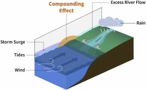
The lower Willapa is a place where those forces overlap. Near the bay, the water rises and falls with the tides. Far upstream, the river's flow drives it. Raymond and South Bend sit in between, where both matter. A king tide alone brings flooding to some places, Horner-Devine says, but a king tide combined with a storm brings it to many more.
That overlap is also where standard tools fall short. “The models that people generally use in engineering to predict flooding mostly fail when you have multiple drivers generating flooding, like tides, storms and then big river flow events,” he says.
To help fill that gap, Horner-Devine and CEE Assistant Professor Christie Hegermiller launched a pilot project. With doctoral student Ryan Chiu and then-senior Sasha Bugbee (BSCE ’26) leading the fieldwork, the team placed 25 sensors along the river and in Raymond and South Bend. The people who live with the flooding helped decide where the sensors should go.
Towns built at the water's edge
Both towns began as logging communities built on tidal marshland, and flooding has long been part of life there. Most years, parts of the towns flood a couple of times, which usually means closed roads and detours.
Some residents have told the researchers that their basements flood twice a year. Near one ball field, families pick up the trash left by every flood so their kids can play there again.
Sometimes the flooding is worse. During storms in December 2025, residents of a South Bend mobile home park had to evacuate. And the risk will likely grow. Sea levels in parts of Willapa Bay are expected to climb about half a foot relative to the land within 30 years, according to the Cascadia CoPes Hub, the National Science Foundation-funded project behind this research.
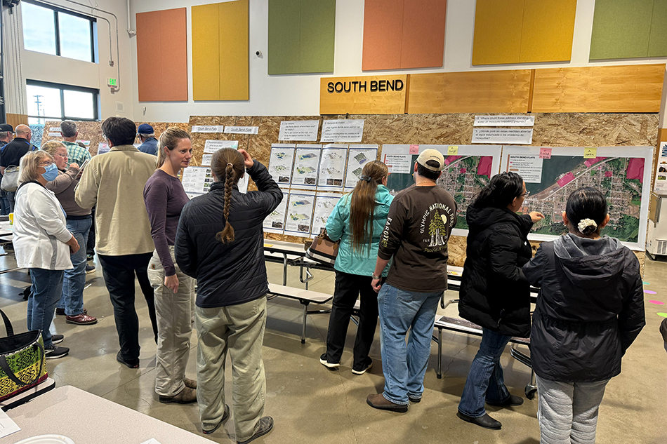
The Hub builds community partnerships into its work. For this team, that has meant joining community workshops at the local high school, where residents talk through flood trouble spots and decide which to tackle first.
“It took a while for us to figure out how to do research that was meaningful to the community,” Hegermiller says. Talking with local partners led the team to go beyond the computer modeling it had first proposed and design a field measurement campaign that would better address local flooding concerns.
Fieldwork on the tide's schedule
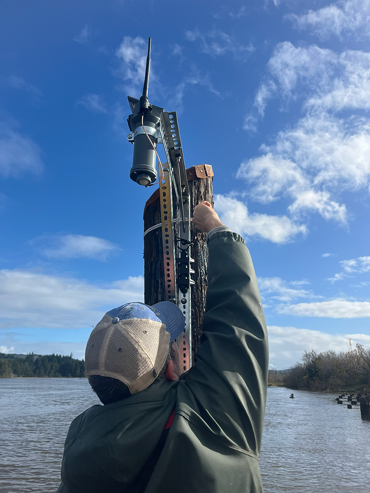
Most of the sensors the team installed sit underwater and sense the weight of the water above them, which tells researchers how deep it is. The catch? The tide raises and lowers the river 12 to 14 feet, so each sensor must stay submerged at low tide yet remain within reach.
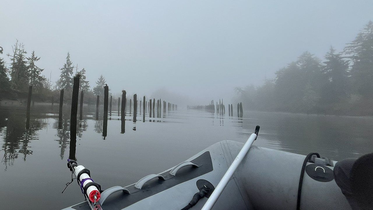
The answer was already standing in the river: the wooden pilings from logging days. Horner-Devine, a former whitewater kayaking instructor, paddled the river to pick the best ones. Bugbee and Chiu designed mounts that kept the sensors submerged while allowing the team to retrieve them from a boat when the tide was low enough.
From October through March, the team returned every few weeks to download the recordings stored on each sensor and check batteries, reducing the risk of losing data if a sensor failed or washed away.
“It involved inflating a 13-foot boat at 4 to 5 a.m. with headlamps on while it's raining,” Bugbee says. Then came a race to reach every site before the tide returned, often through hail or heavy rain.
The sensors on the river track how water moves through the system. A second set sits in town, on stop signs, near the ball field and along stretches of Highway 101 that flood. Many of those were built in-house by CEE’s RAPID Facility, and every in-town site was one the community had identified.
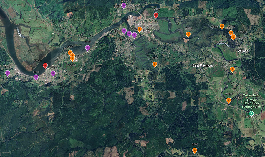
“I don't think we would have placed sensors in the right places if we didn't have that input from them,” Horner-Devine says. Sensors have to be in place before a storm hits, so choosing sites takes local experience: “You have to have lived there through a bunch of storms to know where you should put things and measure them.”
The students behind the sensors
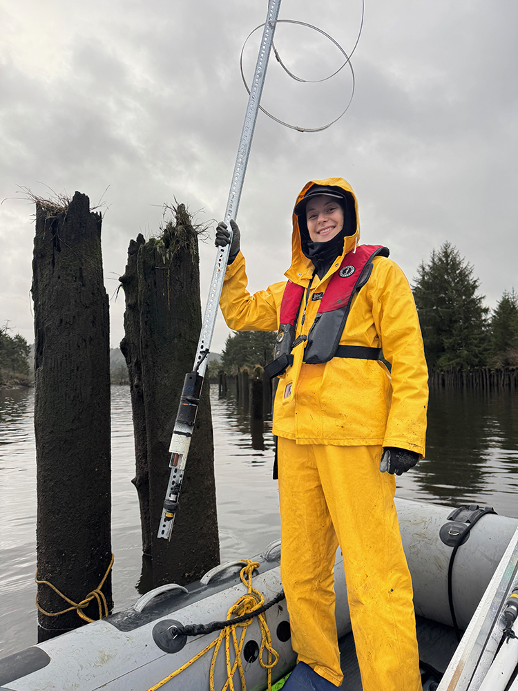
Before each field trip, Bugbee and Chiu drew up the plan together: which sensors to use, which to recover first and how to swap them out. Then they joined the team on the river to carry it out.
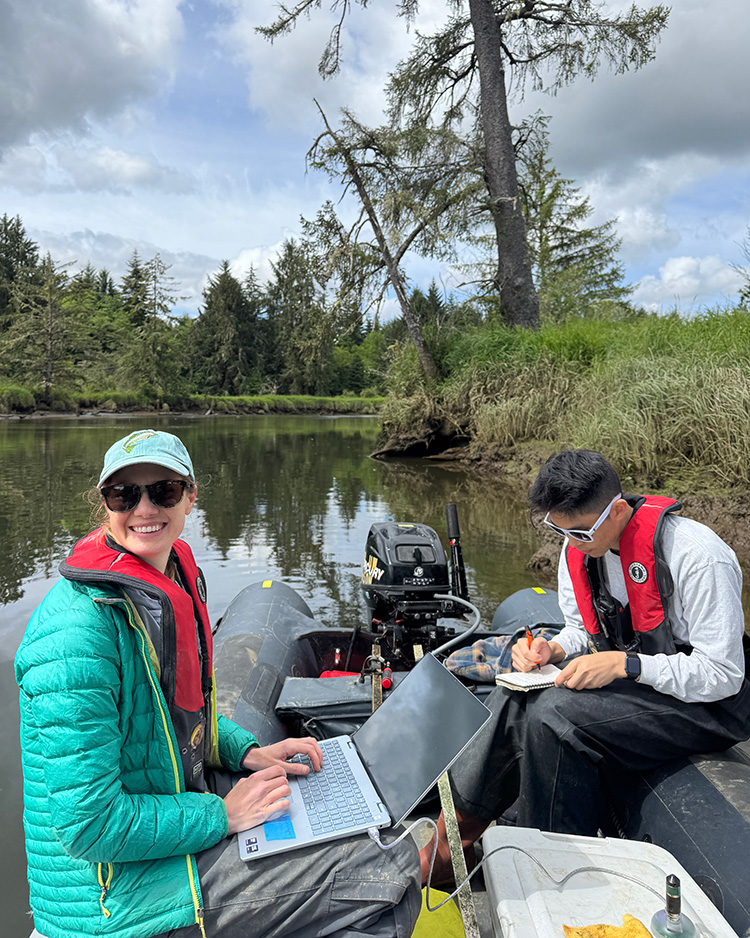
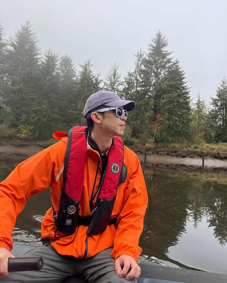
Existing gauges measured tides in Willapa Bay and river flow farther upstream, leaving little data for the communities in between. Chiu used community input to help decide where new sensors should go.
Between trips, Bugbee and Chiu tested sensor mounts and processed incoming data. This project was Bugbee's first research experience, and it changed her idea of what research could be.
“I liked that it combined observational data with community collaboration,” she says. Until this project, she hadn't realized “how closely research could work alongside a community to address the problems they face.”
Bugbee is now a graduate student in coastal engineering at the University of Maine. Chiu is in his fourth year as a CEE doctoral student.
You get different solutions when the science is engaged with the community, and they're more likely to be lasting solutions.
Alex Horner-Devine
CEE Professor
Putting the data to work
The data are already answering some of the community’s questions. The November flooding, for example, came from a king tide combined with a small storm surge, and the data show that combination is enough to flood Highway 101. Readings from a sensor near the South Bend mobile home park evacuated in December are also helping city planners understand what drove that flooding and how to reduce it.
Much of the existing evidence about local flooding came from residents’ observations, Chiu says. “But now, local agencies have quantitative data that they can use in grant applications to get funds from the state to improve resilience around the county.”
The team also used the data to build and test a computer model that can help predict floods. The model captures how tides, storms and river flow interact and can show what flooding might look like in 10 or 50 years. The team has begun talking with the Washington State Department of Transportation about using the work to inform road and bridge replacements in flood-prone areas.
Looking ahead
For Horner-Devine, working closely with the community is the whole point of the Cascadia CoPes Hub.
“You get different solutions when the science is engaged with the community, and they're more likely to be lasting solutions,” he says.
The sensors were supposed to come out by late winter 2026. The data proved interesting enough that the team kept them in longer, and community partners have asked to keep them running for another year. Chiu is digging into how compound flooding plays out on the Willapa and in Grays Harbor to the north.
The goal is to keep measuring when the king tides return this winter.