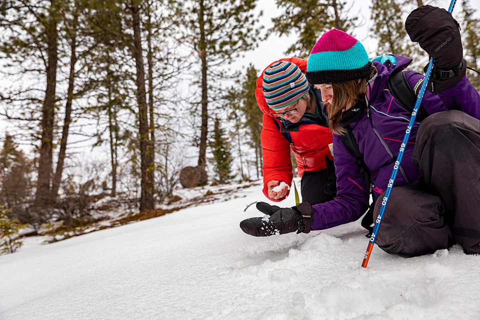
Balancing fire and ice

Managing the region’s forests for wildfire prevention and snowpack preservation

By: Brooke Fisher
Photos: Mark Stone/University of Washington
Top image: An aerial view of Cle Elum Ridge, the location of 12 field sites where researchers are studying how the forest structure impacts snowmelt. 

Wildfire prevention strategies typically entail removing flammable species of trees and underbrush that can fuel fires. But what if there was a strategy that could also help preserve the snowpack? This question has sparked the latest phase of research among a team of scientists who are working to safeguard the region’s vulnerable water supply.

“There needs to be some strategic thinning of forests for fire, but most of our watersheds are water stressed, so if we can make recommendations that both help cut down fire risk and increase snow retention, then we get a double win,” explains CEE Professor Jessica Lundquist

Accumulating during the cooler months, the snowpack is an important summer water source for the region. If it melts too soon, there isn’t ample water downstream when late season streamflow is critical for a variety of purposes — from agriculture to drinking water to aiding salmon migration. A water drought can also lead to more intense wildfires. During the next 70 years, the snowpack in the Washington Cascades is projected to decrease by 50%.

Image
Researchers hike into the forest with snow on the ground
The researchers and RAPID team hike into the forest to collect data.

“The snowpack is this incredible water storage system across the West Coast. It stores our water all winter for us. When it melts and ends up in the river, it becomes our drinking water and is important for fish,” says Ph.D. student Cassie Lumbrazo. “These forests are being thinned, and we are not sure how this will impact snow retention in this region.”

The researchers are focusing on the Eastern Cascades, where the snowmelt feeds into the largest river in Washington state. The Yakima River supplies water to the region’s most productive agricultural area, the Yakima Valley, known for its cherries and hops. With the goal of finding a balance between wildfire prevention and hydrology needs, the research will inform a statewide forest management plan that’s under development by the Washington State Department of Natural Resources (DNR). The findings will also inform The Nature Conservancy’s (TNC) management of 38,000 acres in the Central Cascades.

The project is a partnership and “labor of love” between a team of researchers: Lundquist and Lumbrazo from UW; alumna and affiliate assistant professor Susan Dickerson-Lange (CEE Ph.D. ‘16), a hydrology consultant from Natural Systems Design; and Aquatic and Fishery Sciences alumna Emily Howe (Ph.D. ‘12), who leads snowpack and aquatic resources research for TNC. The team is collaborating with the Tapash Sustainable Forest Collaborative, which works to improve forest ecosystems in the Central Cascades and comprises Yakama Nation, United States Forest Service, Washington Department of Fish and Wildlife, TNC and DNR.

Alumna Susan Dickerson-Lange and Professor Jessica Lundquist looking at snow

Alumna Susan Dickerson-Lange and Professor Jessica Lundquist, from left, take a close look at the snow to see how snow crystals change on the north versus south side of Cle Elum Ridge.

A snowpack surprise

The layout of the forest floor — from the proximity of trees to whether slopes face north — can greatly impact the snowpack, causing snow to melt faster in certain locations. While it may seem obvious that snow underneath trees, protected from the sun, would melt more slowly than snow in open areas, this isn’t always the case.

Image
3D lidar image
An example of a 3D lidar data point cloud which provides forest structure information, such as the size of gaps between trees.

Surprise findings harken back to 2009, when Lundquist and her graduate students first started to work on forest snow research in the Cedar River Municipal Watershed, located in the Western Cascades. They found that in mild climates, such as the Pacific Northwest, snow melts faster under trees than in open areas. This is due to longwave radiation, which is emitted by trees proportional to their temperature. In warmer climates, trees emit more energy, which melts the snow.

“We noticed that our results were different from most of the published studies we read. Most said snow lasts longer under trees, but we discovered that’s just in colder climates,” Lundquist recalls. “An example I give my students is that in Seattle on cold winter nights, I have a big Fir tree in front of my house; if I park my car next to it, in the morning only half of the car has ice on it. The other half is protected from frost because of longwave radiation from the tree.”

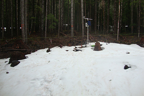
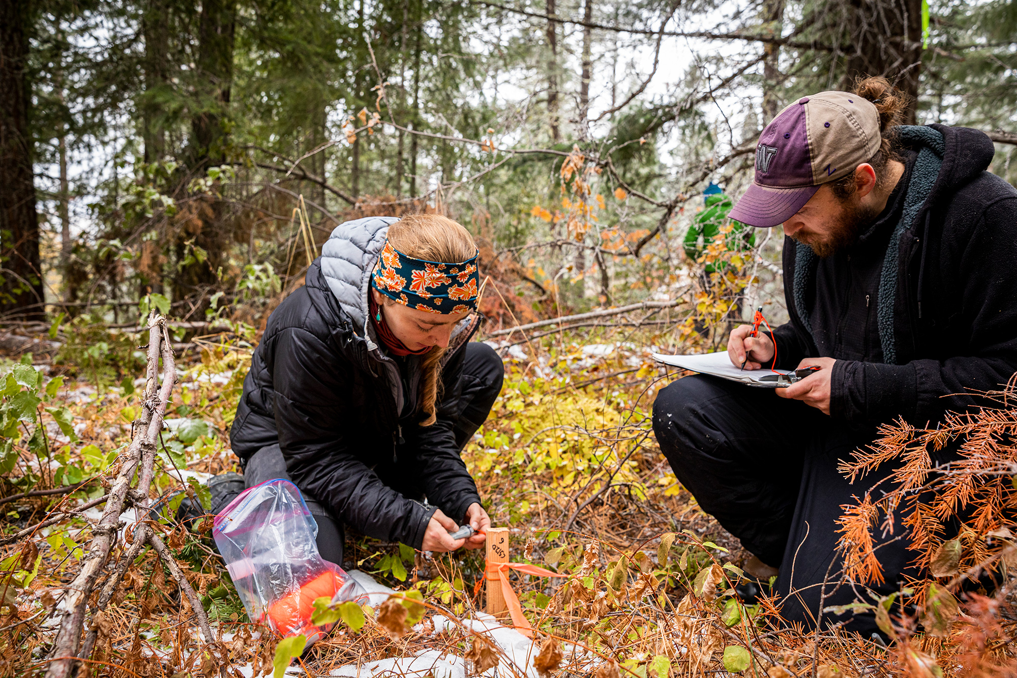
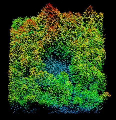
Curious to know how much longer snow in open areas may last, the researchers recently investigated the snow located in gaps between trees across the Cascade Crest in the Eastern Cascades. Unlike a clearing, a gap in the forest is partly shaded by surrounding trees, with no trees directly above. In their recently published findings, the researchers found that snow can last up to a month longer in open gaps, particularly on north facing slopes.

“Gap snow is protected by nearby trees, but as the gaps get larger, the surrounding trees provide less shading from the sun and sheltering from the wind, so it’s this balancing act,” explains Dickerson-Lange, who led this phase of research and has been involved in the ongoing project since her Ph.D. studies. “More snow also accumulates in the gaps, since there aren’t branches blocking the snowfall and capturing the snow.”

Left: Ph.D. students Cassie Lumbrazo and Steven Pestana place temperature sensors. Top right: Aquatic and Fishery Sciences alumna Emily Howe secures a timelapse camera to a tree. Bottom right: RAPID researcher Karen Dedinsky attaches a Global Navigation Satellite System (GNSS) base station to a tripod. The equipment will be used to create GPS points that serve as ground control points for the lidar data.

From academics to application

With insight into the unique characteristics of snow melt in Pacific Northwest forests, the researchers are now working to translate their findings to the hands-on work of forest managers and — even more specifically — loggers.

“For example, we will advise which side of the ridge to thin on and where in the landscape to create gaps between trees ” explains Lumbrazo. “But first, we need to look at our field sites and see which plots maximize snow depth and retention while also considering fire resiliency.”

Image
RAPID researcher Andrew Lyra prepares a drone equipped with a lidar instrument.

In preparation for this phase of research, the researchers collaborated with TNC foresters to strategically thin 12 field sites near Cle Elum Ridge. They carefully marked specific trees for removal to reflect a gradient of heavy to light thinning and associated gap sizes, equally divided between the north and south slopes.

To track the accumulation and melting of snow, timelapse cameras were distributed across the field sites. Data about the forest structure, such as the layout of trees and canopy coverage, was captured by researchers from CEE’s Natural Hazards Reconnaissance Facility (known as “RAPID”), who mapped the landscape in 3D using lidar remote sensing. The combined information will be used to assess the relationship between factors such as snow duration and forest density, to determine how snowpack retention may be optimized.

“Is there a sweet spot, and can we predict what that sweet spot would be?” asks Howe. “The ultimate goal is to ensure that our forest management actions for fire resilience are not exacerbating water scarcity. And, if possible, are there places where we could buffer climate impacts to the area’s hydrology? Our dream would be to increase stream flows.”